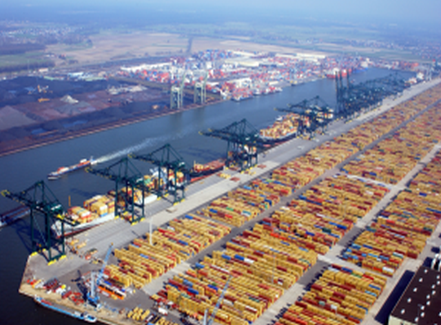
Protection of homeland borders and perimeter of vital assets are a critical priority task
BATS’s tailored operational solution, the autonomous, integrated, interoperable Multi Sensor Information and Surveillance System (MSISS), ensures that the owner of such a system will be able to:
- detect
- locate
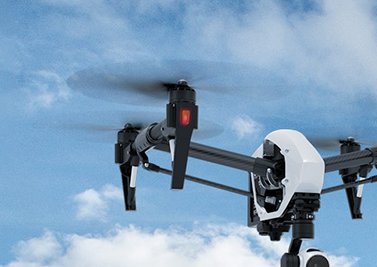
- and target intruders (i.e. terrorists, smugglers, illegal migrants and other threats)
24 hours a day, at all weather and bad visibility conditions.
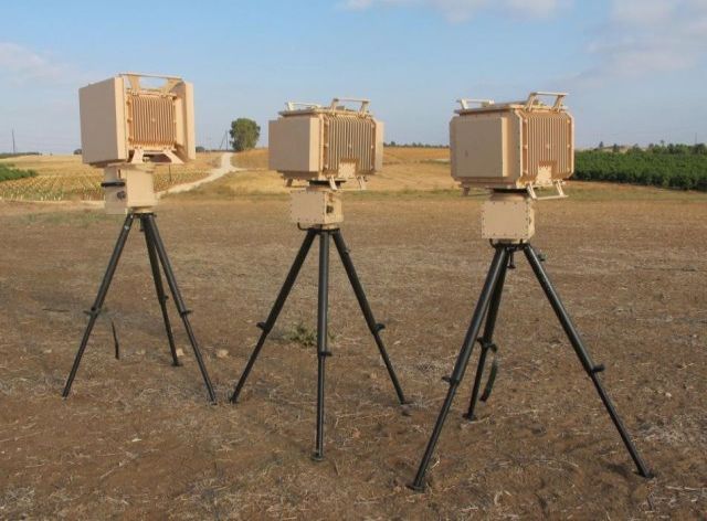
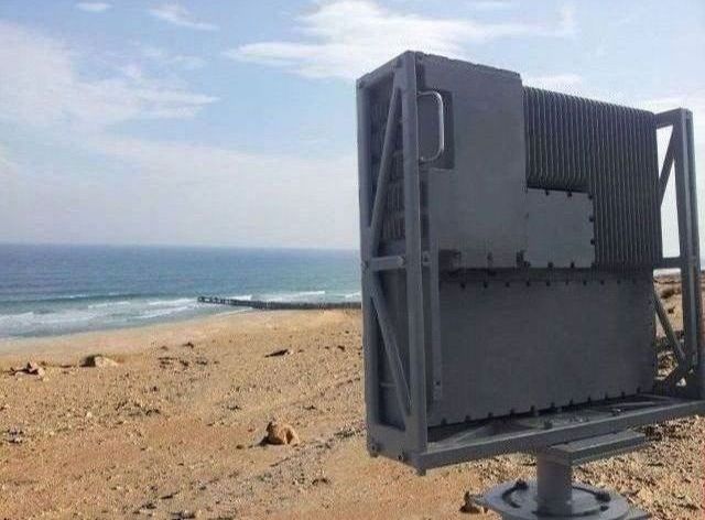
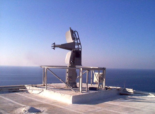
MSISS server(s) and/or client station(s) in Command & Control Centre(s) can gather and process information from a multitude of sensors, i.e. Radar, Electro Optical Devices and other optional sensing devices, e.g. Electronic Fence Sensors, Ground Sensors, Building Management Systems, creating a tactical Unified Awareness Situation Picture (UASP) using a sensor correlation algorithm to inform intervention units, in real time, about any relevant threat and events (e.g. detected people, vehicles, fire, intrusion etc.).
Using such a system increases the effectiveness of border and perimeter management and creation of favourable conditions in which the eventual threats can be met and taken care of.
Guard units can be deployed and sent to handle the threats locally upon need. To all its users, the interoperable system provides a rich graphical, geographical information system (GIS) that provides a single operator with the ability to manage a large amount of sensors in a singular, easy to use and automatic system.
All the data / operational information received from the sensors (e.g. targets, BMS alerts) is merged (data fusion) and presented in a graphical, interactive, easy-to-use presentation overlaid on top of geographical maps and other graphical layers.
The operator operates the different sensors in an easy, similar and intuitive way, providing a fast learning curve and fast operational readiness for operating the system.
The system operates in an automatic way, using advanced algorithms for sensor correlation, alert and threat analysis and automatic procedures, such as camera slewing and enslavement. Each event, depending on the geographical area of jurisdiction, will create a single entry in the system.
Functionalities
FUNCTIONALITIES
- MSISS initialization and shutdown control
- System BIT and up-to-time status of all the connected sensors and operators
- Generic communication protocol to the different sensors which are connected to the system, receiving status and alerts/tracks information
- Unified Awareness Situation Picture (UASP) management
- Create and maintain an integrated real-time Unified Awareness Situation Picture (UASP)
- Transmission of applicable real-time UASP data to external systems and to dispatch units (e.g. optional PDA/GPS units and mobile forces)
- Sending real-time UASP data to HQ and other C4I systems and other levels of the administration
- Providing a generic and easy to use operational graphical interface for the operator to control all sensors and electro optical systems, while providing many automated actions and sequences used by the system to reduce operator load.
- Data recording:
- Real time raw data recording that can be used for analysis, training.
- Recording of UASP (incl. alerts), all operator actions as well as video data for reports, advanced search as well as debriefing.
- Load management over the different operators (if more than one operator console)
- Different roles and types of operators, flexible allocation and change of number of operators
- Geographical dynamic assignment of border sections to the operators
- Backup support between the operators and controllers in case of overload or crisis.
- Sharing of information and control between MSISS sites and command/management sites. The MSISS processes and correlates the sensor contact information, generates and maintains the overall tactical situation picture and automatically displays the appropriate contact symbols and labels on the Display at the Operator Work Station (OWS). The MSISS provides the OWS operator with the facilities to control the display of the tactical situation by utilizing information from any or all of the sensors and provides control of tactical data for transmission to other users. The MSISS presents a modern tactical solution designed to meet the diverse roles of Site Security.
Key features
KEY FEATURES
Robust - The computer equipment is selected among the best, most reliable and modern technology COTS, fully compatible with their respective system's functional requirements and operational environment. Several options of cold/hot backup and redundancy are offered.
Efficient - The sensor data collection, integration and exploitation process has a high degree of automation, minimizing man-power and high-skill requirements and shortening the intelligence collection, analysis and situation handling cycle.
Flexible - Includes multi-role consoles; each operated in one of several different modes according to the mission at hand. This mode can be easily changed dynamically based on mission needs.
User Friendly - Human Machine Interfaces (HMI) and operation modes are designed to be intuitive and user friendly. We rely on comprehensive, previously acquired, operational experience of our customers. This provides a very low learning curve and short training time. The HMI can be translated to any desired language and switching between languages during run time is possible.
Scalable - The system design exhibits an open ended, flexible and scalable architecture, with a wide range of provisions for optional capabilities and upgrades, in the future including growth capability.
Price quotation
PRICE QUOTATION
Please contact us and we will be pleased to discuss your specific requirements and provide you with a tailored offer.